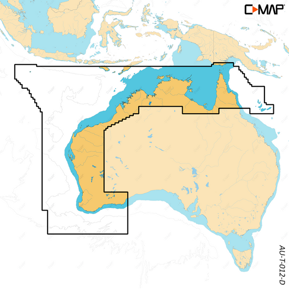
Description
C-MAP Reveal mapping
- High-definition C-MAP Reveal layer of the sea bottom on selected areas
- Reduces search time with immediate display of bottom structure, wrecks, isolated reefs and ledges
- Easy to use – just turn on Shaded Relief setting in chartplotter
- C-MAP Reveal charts contain full C-MAP MAX-N+ vector navigation data, including new features like High Resolution Bathy, Custom Depth Shading, Genesis layer and satellite imagery
- Includes detailed marina and port plans
- Most affordable sea bottom charts available
NOTE: NOT COMPATIBLE WITH NSX MODELS
Please check and order correcly as cards are not returnable


