Description
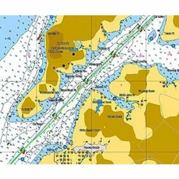
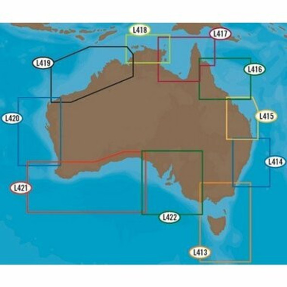
CMAP SDAU311-FISH MAP Fishing Chart - Australia South Coast FUR-MM3DFISH311
View AllClose
CMAP SDAU311-FISH MAP Fishing Chart - Australia South Coast
TIMEZERO and Furuno NavNet(3D & TZT) utilize MapMedia mm3d altimetry to realistically represent the shoreline.
The advantages are numerous such as the instantaneous identification of port entries or the identification of specific shoreline features.
The use of altimetry also allows you to navigate in a realistic perspective view in relation to the horizon.


