Description
NOT Compatible with Garmin Displays
Navionics Platinum Plus
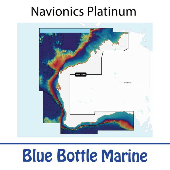
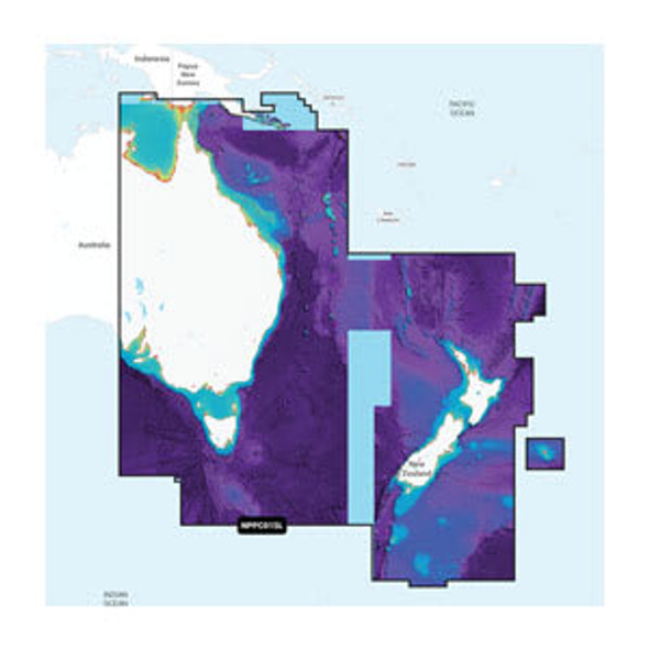
Navionics Plus Map coverage areas- Australia and NZ
- Australia West
- Australia North East
- Australia South East
- New Zealand
Navionics Platinum Plus Features
in addition to the Navionics Plus features listed above, the following are Platinum features
PLATINUM+ OVERLAYS AND FEATURES- Designed with the most demanding boaters and serious anglers in mind, all the marine content of Navionics+ is enhanced with additional viewing options that take your boating experience to the next level.
- A comprehensive, all-in-one map solution, Platinum+ cartography combines premium marine content on oceans, major rivers and seas with freshwater inland mapping for more than 42,000 lakes worldwide.
- The Navionics relief shading feature brings bottom detail to life, from shallow flats to deep offshore canyons, in a vivid, colourful representation that helps boaters gain a better understanding of bottom topography. Available in selected areas.
- Created from SonarChart 0.5 metre contour data, varying shades of blue reveal changes in depth such as channels and drop-offs. This improves situational awareness and give clear, visual clues to fish-holding structure.
- Created from SonarChart 0.5 metre contour data, varying shades of blue reveal changes in depth such as channels and drop-offs. This improves situational awareness and give clear, visual clues to fish-holding structure.
- Dynamic 3D View allows customising of the chart to highlight key features for a better awareness of the surroundings.
- Aerial and panoramic photography of ports, marinas, bridges, docks, boat ramps, dams and navigational landmarks offers superior situational awareness
Navionics PLUS Features
NAUTICAL CHART- Essential cartographic reference detail for cruising, sailing and fishing: port plans, safety depth contours, marine services and navigation aids. SONARCHART HD BATHYMETRY For improved fishing and navigation, SonarChart HD bathymetry maps display up to 0.5 metre contours for a more detailed depiction of bottom structure.
- Download the Community Edits content layer to any Navionics card and view this valuable, local information contributed by Navionics Boating app users on your compatible chartplotter.
DOCK-TO-DOCK ROUTE GUIDANCE
- Navionics advanced route guidance technology1 uses your boat settings, along with chart data and frequently travelled routes, to calculate a suggested path to follow from start to end point.
- Create your own maps on the fly. Watch new 0.5 metre HD bathymetry maps develop in real time as your boat moves along the water.
- Change the way you view Navionics charts and focus on the details that matter most to you. Highlight shallow areas, adjust contour density or select a fishing range.
- Transfer routes and markers, update charts and more between your plotter card and your Navionics Boating app — wirelessly. You can even activate or renew your cartography subscription and upload sonar logs.


